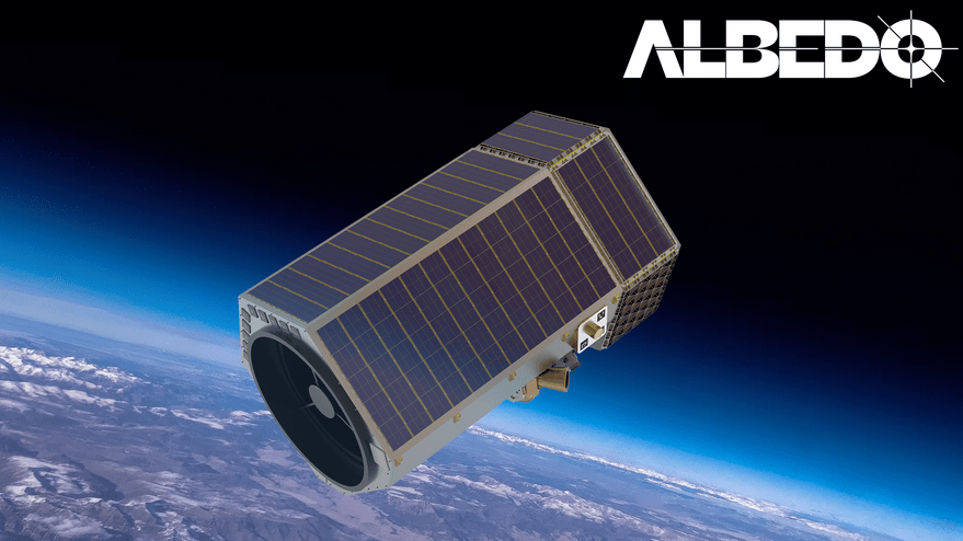
Albedo wins license to sell 10-centimeter imagery

SAN FRANCISCO — Earth observation startup Albedo was granted a National Oceanic and Atmospheric Administration license to sell commercial optical imagery with a resolution of 10 centimeters per pixel.
“We’re one step closer to making this mission a reality, capturing 10 centimeter imagery from space and making that data accessible and transparent and easy to purchase,” Topher Haddad, Albedo co-founder and CEO, told SpaceNews. “Now it’s all execution to get to space in the next couple years.”
Albedo, a startup based in Austin and Denver, plans to operate a fleet of refrigerator-size satellites to gather electro-optical imagery with 10-centimeter resolution and thermal imagery with four-meter resolution. Ten centimeters per pixel is higher than any commercial satellite imagery currently on the market, which made some people question how NOAA would handle the request.
“We were impressed with the licensing process and how well it was executed by NOAA,” Haddad said.
The Commerce Department, which oversees NOAA, released streamlined remote sensing regulations in 2020 that established a three tiered licensing approach. Under the new regulations, there are few restrictions for Tier One, which covers capabilities similar to what foreign vendors offer. Tier Two systems capable of producing data similar to what is available only from other U.S. sources face some license restrictions.
Albedo falls into Tier 3, which is reserved for firms without peer competitors, and includes more restrictions. In a national emergency, for example, the Secretary of Defense and Director of National Intelligence can claim imagery Albedo collects over a designated area during a finite period of time and prevent Albedo from distributing imagery of the specific area to others.
The provision will not affect Albedo “until we have a good amount of satellites in the constellation,” Haddad said.
Keith Masback, an Albedo advisor and investor, applauded the firm’s license approval. As a member of the NOAA Advisory Committee on Commercial Remote Sensing prior to 2020, Masback pushed for a revised regulatory approach.
“Albedo’s 10 centimeter license is reflective of a more rational approach that is indeed focused on supporting the competitiveness of the U.S. remote sensing industry while taking national security into due consideration,” said Masback, former U.S. Geospatial Intelligence Foundation president and CEO.
The NOAA license brings “Albedo one step closer to making aerial quality imagery from space a reality,” Albedo said in a Dec. 14 blog post. “10cm satellite imagery will bring another level of transparency and visibility on a global scale.”
Specifically, the imagery will help local governments improve urban planning, improve views of forest canopy heights for carbon offset projects and permit accurate roof measurements for insurance and solar companies, according to the blog.
In terms of global transparency, electro-optical imagery of lower resolution revealed possible Uyghur detention camps in China. Albedo imagery will be like “a zoom-in lens” for robust verification, the blog added.
Albedo initially planned to offer tw0 meter resolution thermal imagery but is opting for four meter thermal imagery “due to a more synergistic and low impact compatibility with the optical system,” Haddad said.
Related
ncG1vNJzZmiroJawprrEsKpnm5%2BifKK4wZ6bqGWnnru0ecuimp6mo5p6tbuMrJylpF1mfW6vxKeroqWVqbKzecimmKCdoq58